
From field scan to plant location.
Example field overview
Illustrative demo · Fictional data
Disease categories shown are concept features.
Field overview
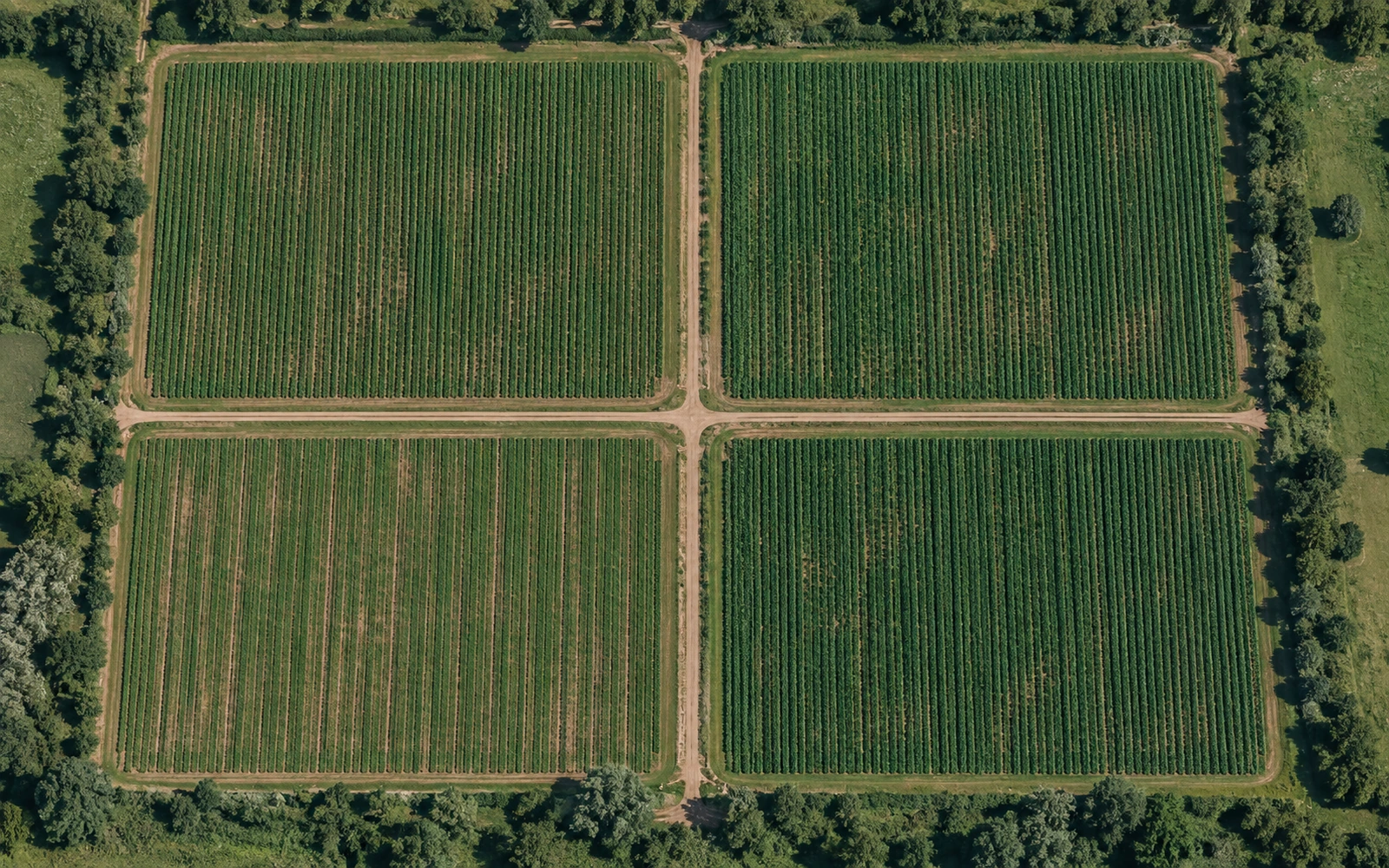

4 fields · 320 acres
Scan to inspection, one crew.
-
Scan
We fly the field with a drone.
-
Locate
We find plants that look sick.
-
Mark
We flag each one in the row.
-
Rogue
Our crew pulls them.
-
Pre-inspection
We help you get ready for inspection.
Roguing usually means walking every row and hoping someone catches the faint mosaic on a leaf. We'd rather send the crew straight to the plants worth a look. The scanning is done by drone, so we cover a field in hours without driving through it.
The research
What we've tested so far.
We built our own spectral sensor and took it to an Idaho field, and we've run our models on drone and tractor imagery from Montana and the Netherlands. Here are the numbers, warts and all.
See the evidence
2027 field service
Plan your field service.
Tell us how many acres you have, when inspection is, and how you rogue today.
Plan Your 2027 Field Service